Kael Alford, map of southern Louisiana
Zoom and Share Buttons
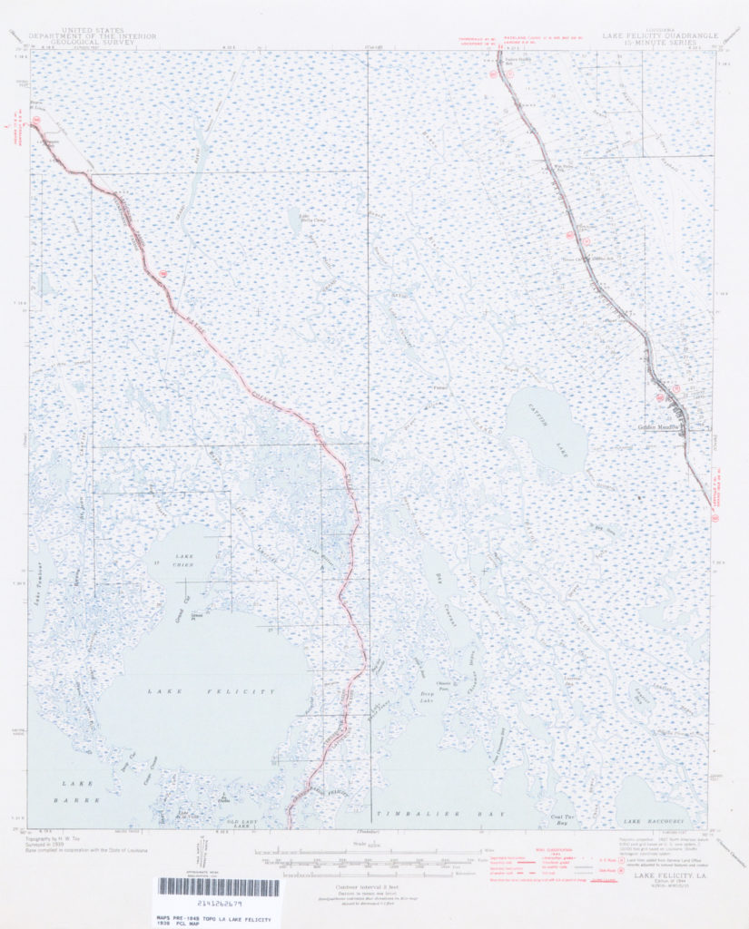
Map of southern Louisiana from Kael Alford’s archives, 2005–2010. Courtesy of the artist.
Picturing the South: 25 Years
Map of southern Louisiana from Kael Alford’s archives, 2005–2010. Courtesy of the artist.